- FINE ART
-
FURNITURE + LIGHTING
Shop By Category
Shop By Artist
- NEW + CUSTOM
- DECORATIVE ARTS
-
JEWELRY
Shop By Category
Shop By Artist
- INTERIORS
- MAGAZINE
Try our new Search
Maps & Globes
Styles
Period
Size
Price
Location
- North America 201
- United States 201
- New York City 174
- New York 173
- Europe 26
- England 22
- Colorado 15
- Colorado Springs 15
- Lymington, Hampshire 14
- London 7
- San Francisco 4
- Brussels 4
- Belgium 4
- California 4
- Atlanta 3
- Georgia 3
- Reading 1
- Dallas 1
- Hastings 1
- Woodbury 1
- Connecticut 1
- Sheffield 1
- England 1
- Texas 1
- Pennsylvania 1
- Massachusetts 1
- Long Island City 1
Medium
Creator
Market
Pattern
- Clear All
Lorin Hartwell, Jr. Thompson
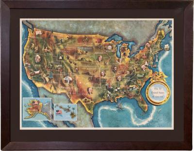
1960 "The 50 United States of America" Pictorial Map by Lorin Thompson
H 25 in W 31 in D 1 in
$ 2,250
Access Trade Price
Edward Hooker Ensign
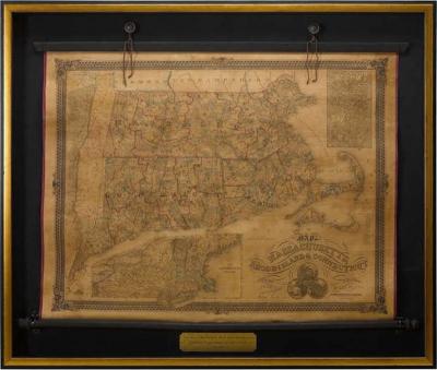
1854 Wall Map of Massachusetts, Rhode Island & Connecticut
H 38 in W 45 in D 2 in
$ 5,800
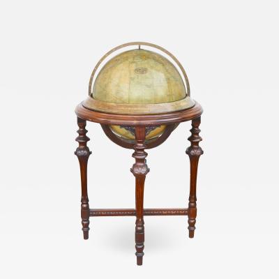
Rand McNally Terrestrial Globe on Mahogany Base
H 40 in W 23 in DIA 18 in
$ 2,500
Access Trade Price
 Loading...


