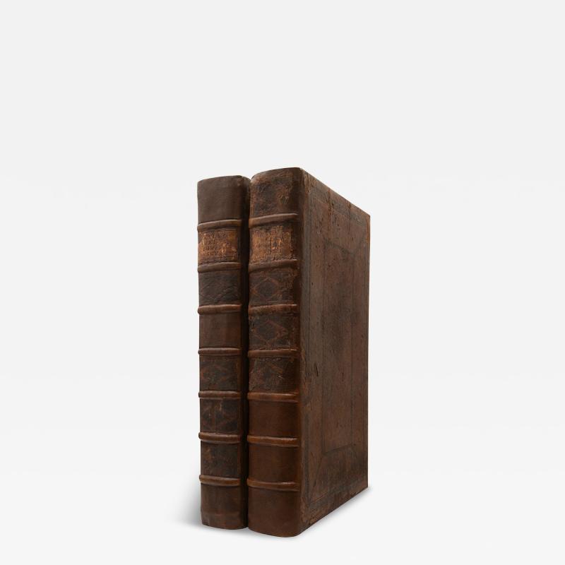
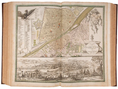
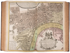
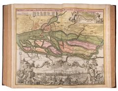
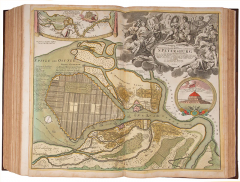
Atlas Germaniae Specialis [with] Grosser Atlas Uber die Gantze Welt.
-
Description
HOMANN, Johann Baptiste.
Atlas Germaniae Specialis [with] Grosser Atlas Uber die Gantze Welt.
Stock Code 111709
Nuremberg, 1735-1737.
Current price$119,810.00
The most important and prolific mapmakers of the eighteenth century'. The Homann family, starting with Johann Baptist Homann (c.1663-1724), and his son, Johann Christoph Homann (c.1703-1730) dominated atlas production in Germany between 1702 and 1803. Following a long period of Dutch hegemony of the profession, J.B. Homann published his first atlas 'Atlas Novus Terrarum' in Nuremberg in 1707, and quickly acquired great respect and influence in Germany. The success of the first atlas 'allowed him to increase his rate of production to almost one map a month until, in 1712, the atlas programme involved one hundred sheets' (Heinz). Homann was made a member of the Berlin Academy of Sciences, and then, in 1715, he was appointed Geographer to the Emperor. In addition to maps of Germany complete with town plans, Homann produced a 'Neuer Atlas' in 1714 and a 'Grosser Atlas' in 1737. After Johann Baptist's death his son directed the firm, until 1730 when it was bequeathed to his heirs (Franz, Hase or Hasius, and Ebersperger) on condition that it continued to trade under the name of Homann Heirs. This firm had a wide influence on map publishing in Germany over the hundred years of its operation.
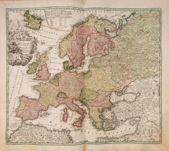
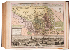
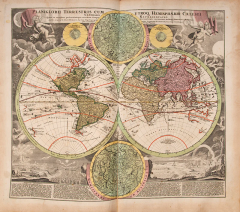
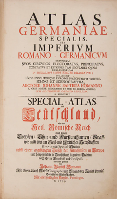
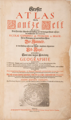
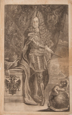
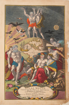
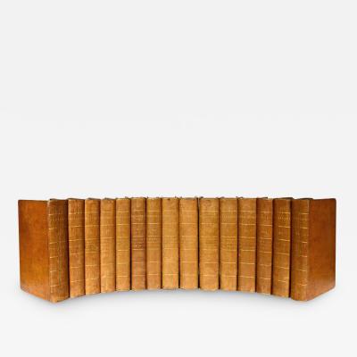
2 vols, folio (55 x 35.5 cm); A total of 318 double page illustrations comprising the following: Atlas Germaniae: title printed in red and black, 169 double-page maps, four of which are folding, with contemporary hand colour (apart from town plans for Rouen and Versailles which are in black and white) and two engraved tables with hand colouring, minor staining to margins of a few leaves and a few maps browned. Grosser Atlas: hand-coloured engraved allegorical title-page for 'Atlas Novus', engraved portrait of Homann by Johann Wilhelm Winter after Johannes Kenckel, lettepress title in black and red with vignette of northern hemisphere in polar projection, dedication, 42pp. introduction by Johann Gabriel Doppelmayr, 147 double page maps, contemporary hand-colouring, a few maps browned, repairs to edge of paper to title-page, frontispiece and pictorial title; patterned endpapers, contemporary German calf, rebacked preserving parts of the original spines, labels to spines, modern beige cloth solander boxes with morocco labels to spines, very good set. -
More Information
Documentation: Documented elsewhere (similar item) Period: 18th Century Condition: Good. Styles / Movements: Traditional Dealer Reference #: 111709 Incollect Reference #: 778322
Message from Seller:
Shapero Gallery Located in the heart of Mayfair, London, Shapero Gallery specializes in prints and original works on paper, ranging from antique prints to modern pochoir plates and photography. For inquiries, contact us at +44.207.493.0876 or gallery@shapero.com.


