


Offered by:
The Great Republic
1 Lake Circle
Colorado Springs, CO 80906 , United States
Call Seller
719.471.6157
Showrooms
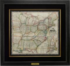
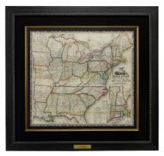
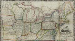
1866 "Ensign & Bridgman's Rail Road Map of the United States"
-
Description
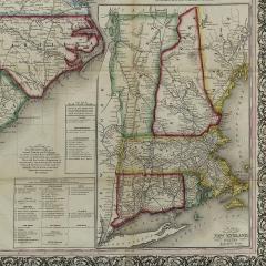
Presented is an 1866 issue of “Ensign & Bridgeman’s Rail Road Map of the United States, showing Depots & Stations.” First published in 1856, this is the third edition, following another issued in 1859. It is an expansive and impressive 19th century map depicting the eastern half of the United States, just after the end of the Civil War. Starting on the eastern coast, the map extends to the western borders of Minnesota, Iowa, Missouri, Arkansas, and Louisiana. As alluded to in its title, the map highlights existing railroads and railroad depots, as well as proposed lines. State boundaries, county boundaries, cities, and major towns are all labeled, along with some rivers and larger lakes. At the bottom of the map is an inset map “Plan of the New England States.” A decorative title block includes a railroad racing a steam boat, topped with a large spread wing eagle. The whole is enclosed within a wide ornamental border.
The map captures the burgeoning American railway infrastructure and documents the industrial ambition of this era. In the mid-1900s railroads were transforming the landscape of North America, revolutionizing transportation, industry, and shifting populations seemingly overnight. This map reflects this transformation by illustrating the extensive railway system, including key routes west and the criss-crossing routes one can take to travel between cities and new rail hubs.
Many names of railroads appear along the cross-hatched lines, while others are numbered to a key list of lines at the bottom right. A small notice states that the publishers were going to print small editions at a time so that reliable railroad information could be added or updated. They continue on to state that “They will feel under obligations to Contractors, Superintendents, & others, who will forward to their address reliable information respecting Proposed or Completed railroads.” The inset map focuses on the railways and depots throughout New England, where early American rail travel first flourished.
CONDITION:
Engraved map. Hand coloring to outlines. Fold lines, as originally issued. Toning along fold lines. Trimmed close to margins.
Map is archivally framed with acid-free mats, UV glass, and a custom-built wooden frame. Framed Dimensions: 45 3/4" H x 48 1/4" W x 1 1/2" D.
Accompanied by our company's letter of authenticity. -
More Information
Period: 19th Century Materials: Engraved, hand-colored Condition: Good. Engraved map. Hand coloring to outlines. Fold lines, as originally issued. Toning along fold lines. Trimmed close to margins. Creation Date: 1866 Styles / Movements: Americana, Traditional Dealer Reference #: M318 Incollect Reference #: 731244 -
Dimensions
W. 48.25 in; H. 43.75 in; Diam. 1.5 in; W. 122.56 cm; H. 111.13 cm; Diam. 3.81 cm;
More Listings from The Great Republic View all 149 listings
-
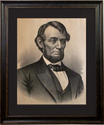
Portrait Of Abraham Lincoln by Kurz & Allison, Lithograph, Circa 1883
-
The Life and Strange Surprizing Adventures of Robinson Crusoe

-
Winner Take Nothing by Ernest Hemingway, First Edition with Original Dust Jacket

-
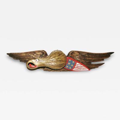
Vintage Hand-Carved and Hand-Painted Bellamy Eagle with Shield
-
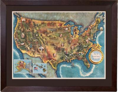
1960 "The 50 United States of America" Pictorial Map by Lorin Thompson
-
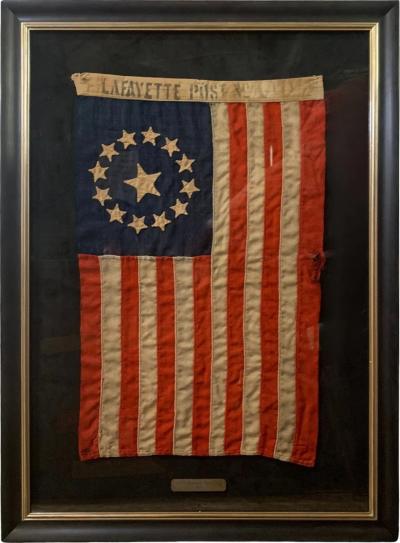
13-Star American Parade Flag, 1860
-
"The Declaration of Independence" Broadside, Published by Phelps & Ensign

-
Vintage George Washington Bicentennial Bust Bookends, Circa 1932

-
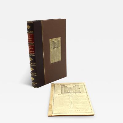
"The Gentleman's Magazine," with Early Printing of "Declaration of Independence"
-
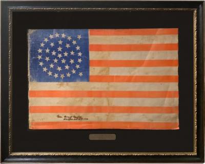
38-Star American Parade Flag, Flown at a Reception for President Grant, 1880
-
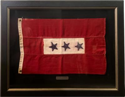
Blue Star Service Flag
-
For Whom the Bell Tolls by Ernest Hemingway, First Edition

-
Vintage Spreadwing Brass Eagle Bookends by Virginia Metalcrafters, 1952

-
13-Star American Centennial Flag, circa 1876

