


Showrooms
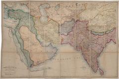
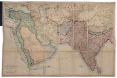
Map of the countries between Constantinople and Calcutta, by EDWARD STANFORD
-
Description
STANFORD, EDWARD.
Map of the countries between Constantinople and Calcutta,
Including Turkey In Asia, Persia, Afghanistan and Turkestan.
Stock Code 107750
London, Edward Stanford, 1899
£2,500
Covers the areas where the intrigues of 'The Great Game' were played out between Great Britain and Russia.
Hand-coloured zincograph map, (67 x 103.5 cm), dissected into 24 sheets and mounted on linen, yellow publisher's advertisements at endpapers, folding into original green boards, yellow label; a fine example. - More Information
Message from Seller:
Shapero Gallery Located in the heart of Mayfair, London, Shapero Gallery specializes in prints and original works on paper, ranging from antique prints to modern pochoir plates and photography. For inquiries, contact us at +44.207.493.0876 or gallery@shapero.com.
Sold
More Listings from Shapero Gallery View all 636 listings
-
Hortus Elthamensis seu Plantarum Rariorum by Johan Jakob DILLENIUS
-
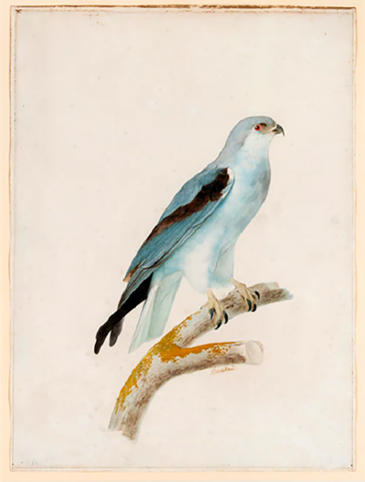
[L'aigle criard; L'aigle criard (jeune); L'élanoide blanc. by Jacques BARRABAND
-
The Movement. by Lorraine HANSBERRY

-
The Movement. by Lorraine HANSBERR

-
Buck's Antiquities by Samuel & Nathaniel BUCK
-
Petticoat Loose: by Thomas ROWLANDSON

-
The Works of Geoffrey Chaucer. by Geoffrey CHAUCER

-
Monograph of the Trochilidae, or family of humming birds. by John GOULD
-
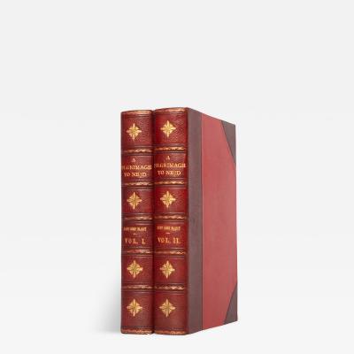
A Pilgrimage to Nejd, by Lady Anne BLUNT
-
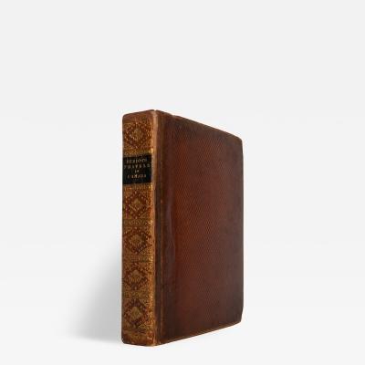
Travels through the Canadas, by George HERIOT
-
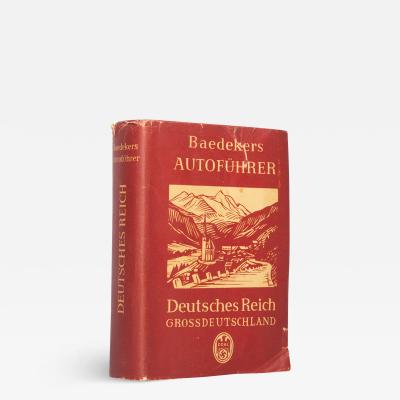
Deutschland. Autoführer. Deutsches Reich (Grossdeutschland) by Karl BAEDEKER
-
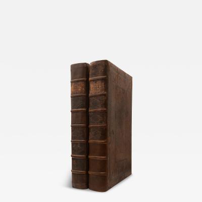
Atlas Germaniae Specialis [with] Grosser Atlas Uber die Gantze Welt.
-
Observations made during a Voyage round the World, by Johann Reinhold FORSTER
-
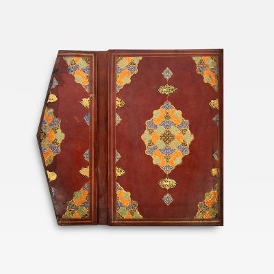
First Juz' from a monumental Safavid Qur'an,