


Offered by:
The Great Republic
1 Lake Circle
Colorado Springs, CO 80906 , United States
Call Seller
719.471.6157
Showrooms
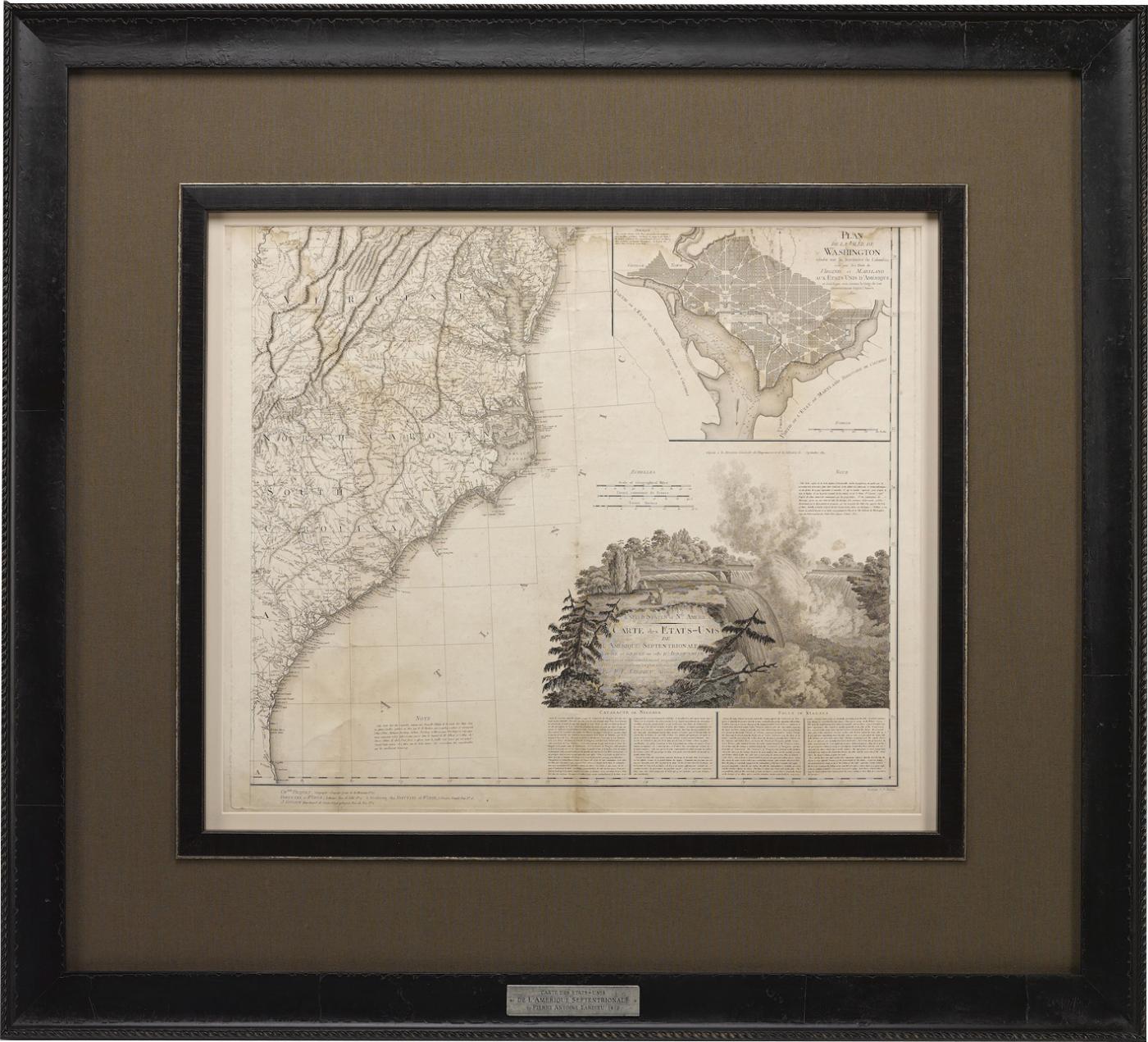
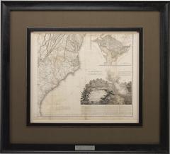
1812 "United States of Nth America" Two-Sheet Map by Tardieu
-
Description
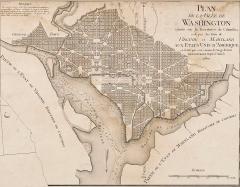
This attractive map, published in Paris in 1812, is one of the most rare large format maps from the period. It features a view of the East Coast of the U.S. from Maryland to just below South Carolina. Additionally, Ellicott’s plan for the City of Washington D.C. is included at the top right and an illustration of Niagara Falls is shown at the bottom right with a description in both French and English. This extremely detailed map not only depicts the mountainous regions of the southeastern U.S., but also includes names of regions, rivers, and towns.
Based on the first state of Arrowsmith’s 4-sheet map of the United States, this map was completely engraved by Tardieu in Paris and showcases high quality engravings. This detailed map of the recently independent United States includes one of the largest and earliest examples of the Ellicott plan of Washington DC.
The artist, Pierre François Tardieu (PF Tardieu) was a very well-known map engraver, geographer, and illustrator. Awarded a bronze medal by King Louis-Phillipe for the accuracy and beauty of his map-making, Tardieu produced many fine works including maps of Louisiana, Mexico, Russia, and Asia in addition to his illustrations of French provinces. Additionally, the mapmaker was the first to engrave on steel rather than copper. Overall, he was widely celebrated for his skilled combination of research, detail, and technical talent.
CONDITION:
Overall very good condition for age and use. Some soiling, especially in the upper right corner, as well as creasing from where the map was folded. Otherwise, the map has no tears and all illustrations are clearly seen. The map has been archivally framed and matted in a complementary frame featuring a descriptive plaque at the bottom.
Framed Dimensions: 43.5" H x 48" W x 2.25" D -
More Information
Period: 19th Century Condition: Good. Some soiling, especially in the upper right corner, as well as creasing from where the map was folded. Otherwise, the map has no tears and all illustrations are clearly seen. Creation Date: 1812 Styles / Movements: Americana, Traditional Dealer Reference #: M281 Incollect Reference #: 722140 -
Dimensions
W. 48 in; H. 43.5 in; D. 2.25 in; W. 121.92 cm; H. 110.49 cm; D. 5.72 cm;
Message from Seller:
Established in 2010, The Great Republic specializes in one-of-a-kind collectibles that honor American history, with a special focus on the rare and unique. Our collection is complete with rarities that are sure to wow, such as first edition books, antique hand-sewn flags from the Civil War, vintage travel posters, and original signatures from American presidents, such as George Washington and Abraham Lincoln, just to name a few. P: 719.471.6157 E: headquarters@great-republic.com
More Listings from The Great Republic View all 251 listings
-
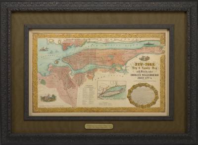
1855 "New-York City & County Map with Vicinity" Map by Charles Magnus
-
Vintage Syroco Wood Eagle with Federal Shield Wall Plaque, Mid 20th Century

-
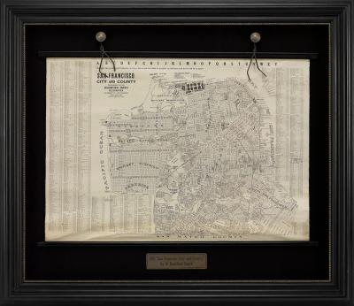
1915 "SAN FRANCISCO CITY AND COUNTY" HANGING MAP BY W. BASHFORD SMITH
-
Antique Charles G. Bush Kaleidoscope, Late 19th Century

-
Vintage "Pollards Ships Chandlery" Wooden Sign, Mid 20th Century

-
"For Victory Buy More Bonds" Vintage Fourth Liberty Loan Poster, 1918

-
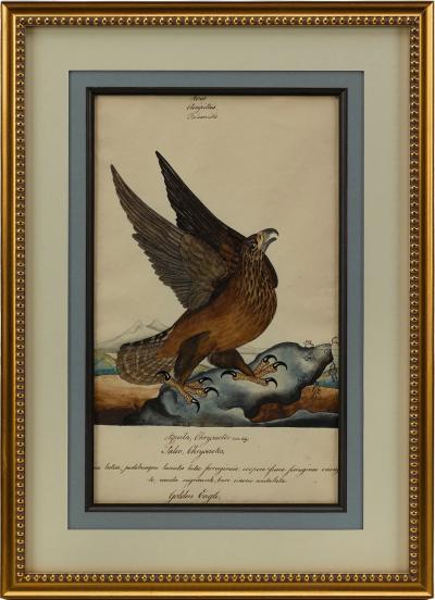
"RING TAIL EAGLE" BY WILLIAM GOODALL, WATERCOLOR AND INK DRAWING

-
Pinocchio: The Story of a Puppet by C. Collodi, Illustrated by Maria L. Kirk

-
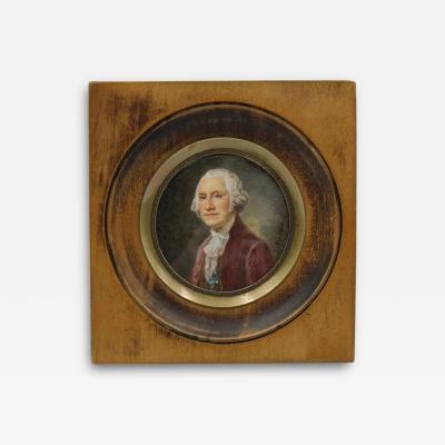
George Washington Portrait in Wooden Porthole Frame, Mid 19th Century
-
"The Council of War" Cast Plaster Sculpture by John Rogers, 1868

-
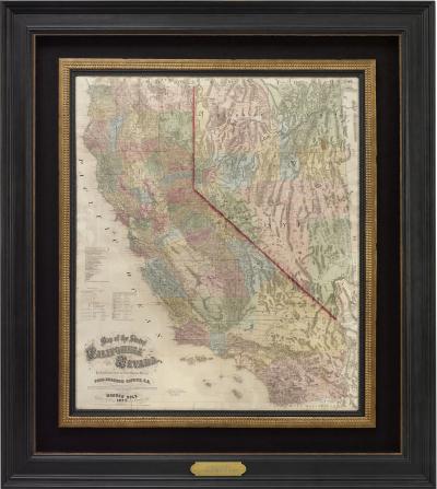
1873 "Map of the States of California and Nevada" by Charles Drayton Gibbes
-
Patriotic Folding Fan with American Flag Motif

-
Vintage Thomas Jefferson Bust Wooden Wall Hanging, Early 20th Century

-
"GOLDEN EAGLE" BY WILLIAM GOODALL, WATERCOLOR AND INK DRAWING