- FINE ART
-
FURNITURE + LIGHTING
Shop By Category
Shop By Artist
- NEW + CUSTOM
- DECORATIVE ARTS
-
JEWELRY
Shop By Category
Shop By Artist
- INTERIORS
- MAGAZINE
Offered by:
Arader Galleries
1016 Madison Avenue
New York City, NY 10075 , United States
Call Seller
215.735.8811
Showrooms
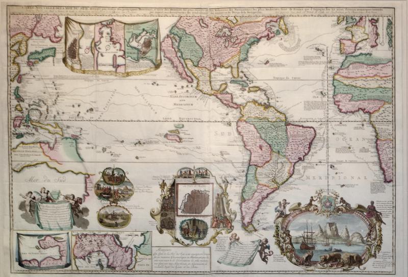
Carte Nouvelle de la Mer du Sud dresse par ordere des principaux Directeurs....
Price Upon Request
-
Tear Sheet Print
- BoardAdd to Board
-
-
Description
DE LETH, Hendrick (1703-1766) and Andries DE LETH
Carte Nouvelle de la Mer du Sud dresse par ordere des principaux Directeurs, & tiree des Memoires les plus receiits et des Relations des Navigateurs les plus Modernes, tant de France que d'Espagno...
Published: Amsterdam: for Hendrick and Andries de Leth by Visscher 1740
Issued separately and EXCEPTIONALLY RARE. Based in part on de Fer's also extremely rare 1713 wall map, this is the third issue, with the inset city plans replacing a vignette of Niagara Falls and the publisher's imprint below the title.
Hendrick de Leth began his cartographic career working for the foremost family printing company in 17th and 18th-century Amsterdam, the Visscher firm. The family of Visscher was one of the most distinguished of all 17th-century cartographic firms, and a major player in the era now considered the golden age of Dutch mapmaking. In the late 1600's, a period of great geographical discovery, Amsterdam became an international center of the arts and of cartography, with engravers and printers produced magnificent maps and charts of every kind. The fields of artistic production and mapmaking were arguably more seamlessly united during this era than any period before or since, as the strong competition among publishers meant that maps not only had to be scrupulously accurate, but also visually appealing. In this milieu, a number of venerable firms, including those established by Blaeu, Jansson, Hondius, as well as Visscher, competed for the ever-expanding market for maps and atlases. The firm founded by Nicholas Visscher set standards for exceptional quality that few others were able to equal, and Hendrick de Leth, who eventually rose to assume control of the Visscher publishing house in the 18th century, maintained the company's standards for excellence during a period when Amsterdam's cartographic preeminence was just beginning to be challenged by the French school of scientific cartography. Boasting advanced geographical information, fine engraving and coloring, and striking decoration, this map is one of de Leth's foremost works, and a fundamental example the best in 18th-century Dutch cartography.
Encompassing much of the world, including all of the Atlantic and Pacific Oceans, it includes a wealth of geographical, historical, practical and anecdotal information, including commercial sea routes and the paths of famous explorers like Magellan, as well as inset plans of important port cities including Veracruz, Rio de Janeiro, and Havana. One cartouche at lower center is surmounted by a plan of Mexico City, while another, at lower right, shows an atmospheric view of the dramatic coast of the Cape of Good Hope. Decorative flourishes include cherubs bearing inscribed informational banners, magnificent strapwork designs, wild animals and allegorical figures. This is a magnificent and highly engaging map by one of the last prominent mapmakers from the golden age of Dutch cartography
McLaughlin 220; Norwich 320; Tooley (Amer) p. 133, 94; Tooley (MCC-23) 75. -
More Information
Documentation: Period: 18th Century Creation Date: 1740 Styles / Movements: Other Incollect Reference #: 116847
Message from Seller:
Founded in 1971, Arader Galleries is the leading dealer of rare maps, prints, books, and watercolors from the 16th to 19th centuries. Visit us at 1016 Madison Avenue, NYC, or contact us at 215.735.8811 | loricohen@aradergalleries.com |
Sign In To View Price
close
You must Sign In to your account to view the price. If you don’t have an account, please Create an Account below.
More Listings from Arader Galleries View all 1345 listings
No Listings to show.
- CARROLL SARGENT TYSON (1877-1956), SPARROW HAWKS
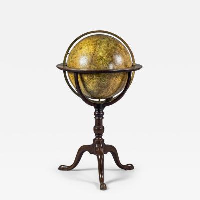
- DUDLEY ADAMS (FL. LATE 18TH CENTURY), CELESTIAL LIBRARY GLOBE
- CAPTAIN W. CORNWALLIS HARRIS (1807-1848), PLATE XIII THE AFRICAN BUFFALO
- ALFRED THOMPSON BRICHER (1837-1908), A SHOWERY DAY- NARRAGANSETT PIER
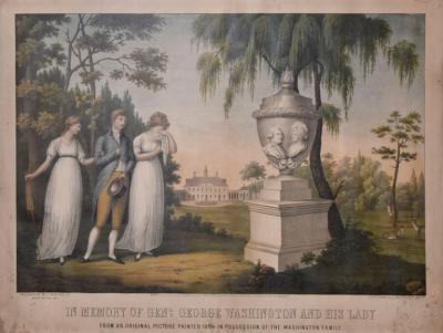
- EDWARD SACHSE (1804-1873), IN MEMORY OF GENERAL GEORGE WASHINGTON AND HIS LADY
- CARROLL SARGENT TYSON (1877-1956), PIGEON HAWKS
- ALFRED EVERITT ORR (BORN 1886), FOR HOME AND COUNTRY
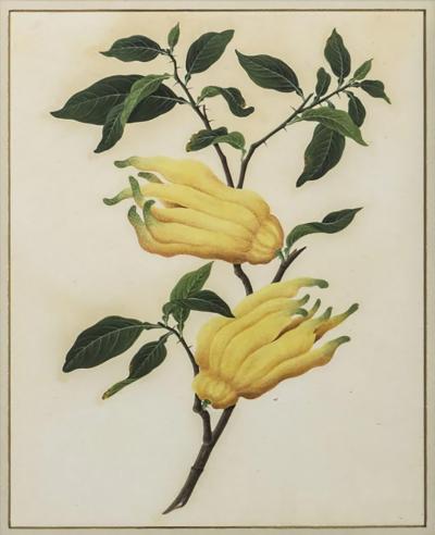
- ANGLO-CHINESE SCHOOL, CITRON
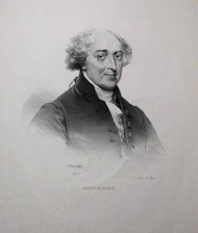
- CHARLES ETIENNE PIERRE MOTTE (1785-1836), AFTER MAURAISSE, JOHN ADAMS.
- AFTER JODOCUS HONDIUS (1563-1612)], TERRESTRIAL GLOBE
- MARK CATESBY (1683-1749), T 95- THE BUFFEL'S HEAD DUCK
- FENNER, SEARS & CO., GEORGE WASHINGTON
- DAVID EDWIN (1776-1841), ENGRAVER, GEO: WASHINGTON
- GILMAN JOSLIN (1804 – 1886), JOSLIN’S TERRESTRIAL GLOBE...


