


Offered by:
Arader Galleries
1016 Madison Avenue
New York City, NY 10075 , United States
Call Seller
215.735.8811
Showrooms
PLAN OF AMELIA ISLAND IN EAST FLORIDA
-
Description
Thomas Jefferys (1719-1771,) William Fuller and William Gerard De Brahm (1717-1799)
Plan of Amelia Island in East Florida [and] A Chart of the Entrance into St. Mary's River taken by Capt. W. Fuller in November 1769 [and] A Chart of the Mouth of Nassau River and the Soundings on it taken at Low Water by Captn. W. Fuller
Published, Thomas Jefferys, London, 1770
Copper-plate engraving
Paper size 22 1/8 x 29 5/8”
20 5/16 x 24 5/8 -
More Information
Documentation: Documented elsewhere (similar item) Period: 18th Century Condition: Good. Styles / Movements: Traditional Incollect Reference #: 667812 -
Dimensions
W. 29.675 in; H. 22.25 in; W. 75.37 cm; H. 56.52 cm;
Message from Seller:
Founded in 1971, Arader Galleries is the world's leading dealer and auction house of Rare Maps, Prints, Rare Books and Watercolors of the 16th through 19th centuries. Over our forty-five year history we have grown to five magnificent locations in some of America’s most vibrant cities and are represented at the most distinguished antiques shows in the country. We are proud to buy and sell more original Audubon prints that any other firm in the United States.
More Listings from Arader Galleries View all 1343 listings
-
ROCKY MOUNTAIN GOATS PL. CXXVIII

-
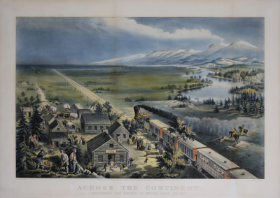
ACROSS THE CONTINENT
-
Jerusalem, Hodierna

-
JOHN WOODHOUSE AUDUBON (1812-1862), MUSK OX PL. CXI

-
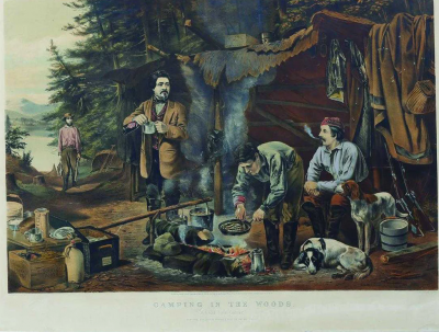
JAMES IVES (1824-1895), CAMPING IN THE WOODS, A GOOD TIME COMING
-
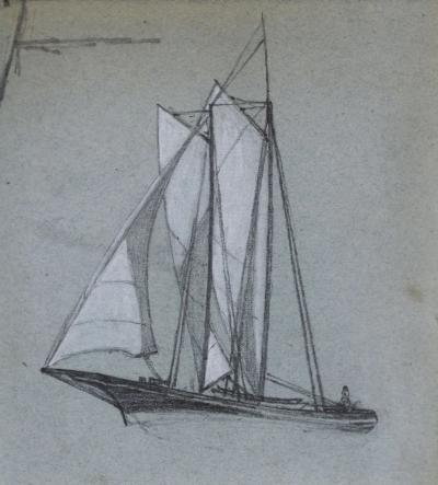
MILTON J. BURNS (1853-1933), [SHIP WITH WHITE SAILS]
-
COMMON OR VIRGINIAN DEER PL. CXXXVI

-
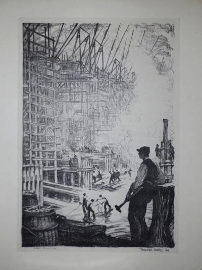
THORNTON OAKLEY (1881-1953), HOG ISLAND - THE WATERFRONT
-
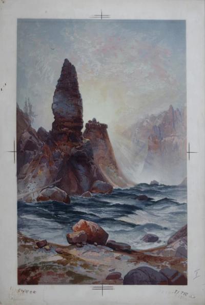
THOMAS MORAN (1837-1926), THE TOWER OF TOWER FALLS, YELLOWSTONE
-
COLUMBIAN BLACK-TAILED DEER PL. CVI

-
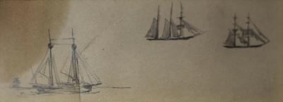
MILTON J. BURNS (1853-1933), [THREE SHIPS AT SEA]
-
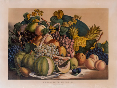
NATHANIEL CURRIER (1813-1888) & JAMES IVES (1824-1895), AMERICAN PRIZE FRUIT
-
CATLIN THE CELEBRATED INDIAN TRAVELLER

-
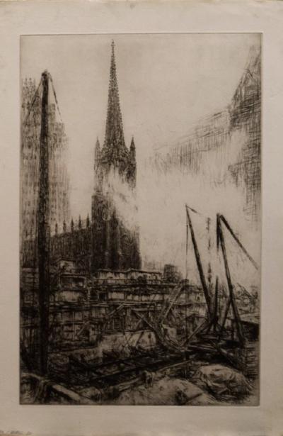
KERR EBY (1889-1946), NO. 1 WALL STREET