


Offered by:
The Great Republic
1 Lake Circle
Colorado Springs, CO 80906 , United States
Call Seller
719.471.6157
Showrooms
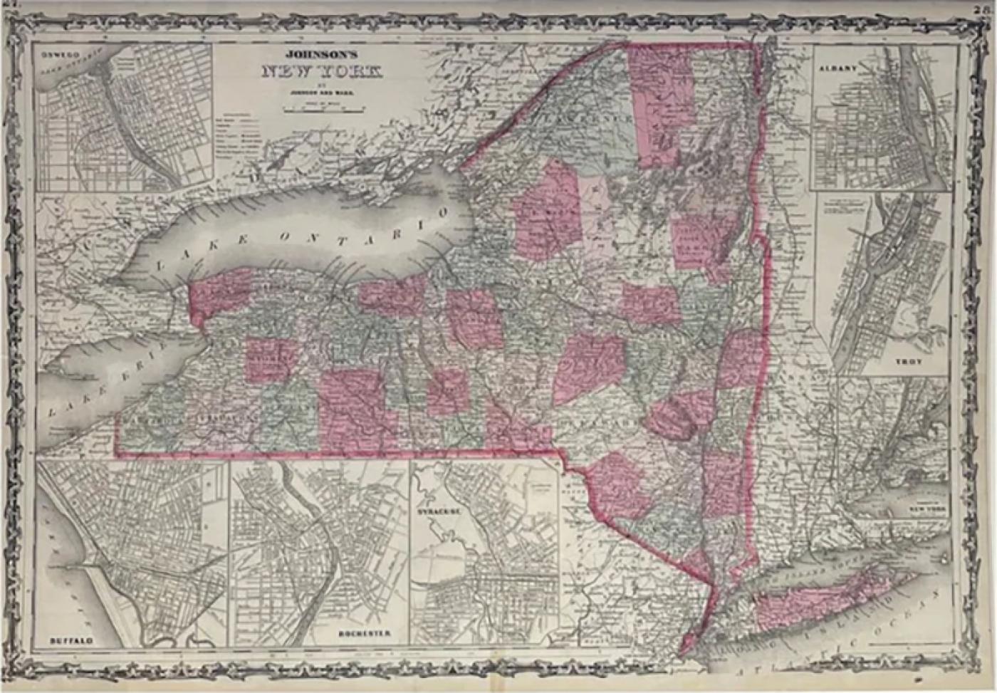
1865 "Johnson's New York" Map by Johnson and Ward
-
Description
Presented is an original 1865 "Johnson's New York" map. This map was issued as page 27 and 28 in the 1865 edition of “Johnson's New Illustrated (Steel Plate) Family Atlas.” The map is engraved, with attractive hand coloring by county and a decorative fleur de lis border. The map is beautifully detailed, with rivers, roads, towns, and important geographical markers all identified. The map has seven inset maps along the border. From top left to bottom right, they are "Oswego," "Buffalo," "Rochester," "Syracuse," "Albany," "Troy," and the "Vicinity of New York."
This 1865 Johnson and Ward publication of “Johnson's New Illustrated (Steel Plate) Family Atlas” was written by Richard Swainson Fisher, M.D. Fisher was also the author of "Colton's General Atlas of the World," "The Gazetteer of the United States," and a past editor of the Journal of American Geographical and Statistical Society. The publishing company of Johnson and Ward was a successor to Johnson and Browning, themselves a successor to the famous publishing company, J. H. Colton and Company. A combination of both new plates and older, updated ones, all of the maps in this atlas were compiled, drawn, and engraved under the supervision of J. H. Colton and A. J. Johnson. The new plates, copyrighted by A.J. Johnson, were made exclusively for Johnson's New Illustrated Family Atlas. Others are the same as used in "Colton's General Atlas."
This early 1865 issued atlas offered a really unique and timely snapshot of the United States just after the Civil War. In addition to the maps, the atlas had several pages of American history, recent federal census data, and geographical and statistical notes.The highlight was its “Chronological History of the Civil War in America” with battle records and dates. It also contained updates on the assassination of Abraham Lincoln and subsequent pursuit and death of John Wilkes Booth and included two Civil War-era maps, one of the “Vicinity of Richmond and Peninsular Campaign in Virginia” and the “New Military Map of the United States.”
CONDITION:
Good condition overall. Hand Colored. Page 27 and 28 from “Johnson's New Illustrated (Steel Plate) Family Atlas.” With seven inset maps along the map's border. Inset city plan maps, from top left to bottom right: "Oswego," "Buffalo," "Rochester," "Syracuse," "Albany," "Troy," and the "Vicinity of New York." The New York state borders are outlined in bold pink, each county is colored differently. Inset maps are not colored. Fleur de lis border. Paper is brittle and time toned. Foxing marks in outer paper margins. Splitting and small tears and losses in outer margins. Archivally presented with acid-free mats. Sold unframed, as-is.
Mat Dimensions: 19 3/16" H x 27" W.
Accompanied by our company's letter of authenticity. -
More Information
Documentation: Certificate of Authenticity Period: 19th Century Condition: Good. Styles / Movements: Traditional Incollect Reference #: 750086 -
Dimensions
W. 27 in; H. 19.1875 in; W. 68.58 cm; H. 48.74 cm;
Message from Seller:
Established in 2010, The Great Republic specializes in one-of-a-kind collectibles that honor American history, with a special focus on the rare and unique. Our collection is complete with rarities that are sure to wow, such as first edition books, antique hand-sewn flags from the Civil War, vintage travel posters, and original signatures from American presidents, such as George Washington and Abraham Lincoln, just to name a few. P: 719.471.6157 E: headquarters@great-republic.com
More Listings from The Great Republic View all 252 listings
-
WW STAR RING WITH WHITE AND BLACK DIAMONDS
-
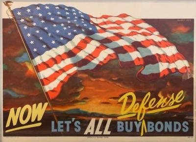
"Now Let's All Buy Defense Bonds" Vintage Poster by Gary Orr, 1950
-
SEAWEED CUFF

-
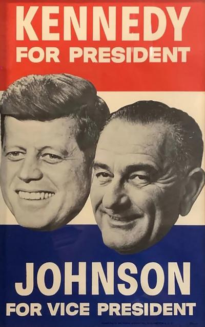
"Kennedy for President. Johnson for Vice President" Vintage Campaign Poster
-
KOBOLD ARCTIC DIVER TITANIUM POLISHED WATCH WITH TAN NYLON STRAP

-
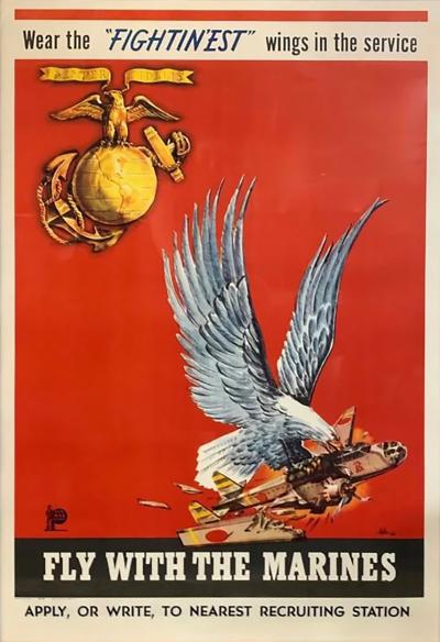
"Wear the 'FIGHTIN'EST' wings in the service" Vintage WWII Marine Recruitment
-
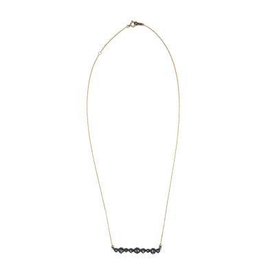
SILVER CAST DIAMOND NECKLACE ON THIN GOLD CHAIN
-
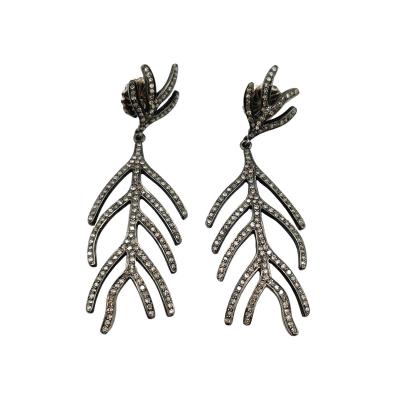
PAVE DIAMOND FISHBONE EARRINGS
-
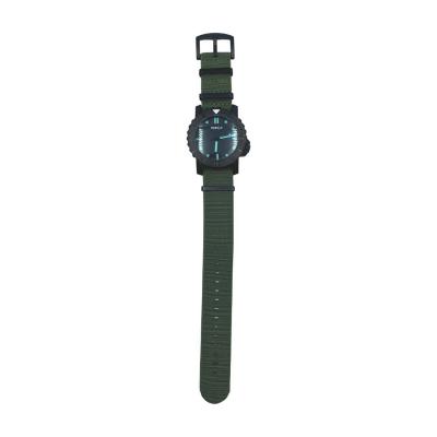
KOBOLD ARCTIC DIVER TITANIUM TACTICAL WATCH WITH GREEN NYLON STRAP
-
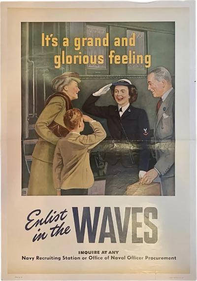
It's a grand and glorious feeling. Enlist in the WAVES. Vintage WWII Recruitment
-
PALACE CUFF

-
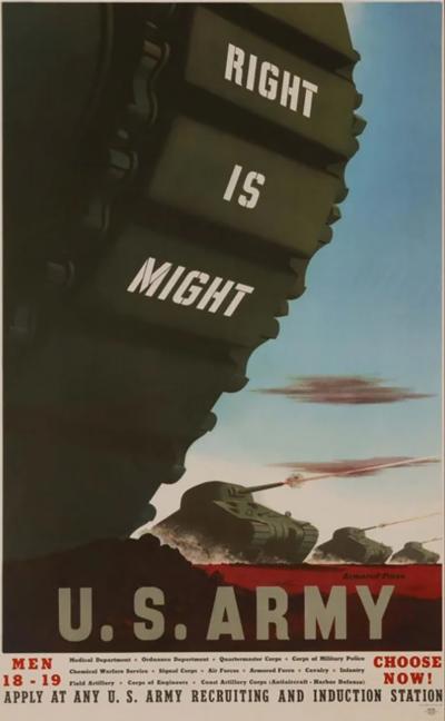
"Right is Might" Vintage WWII U.S. Army Recruitment Poster by Stuart Graves
-
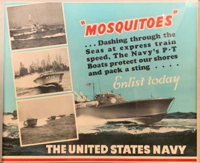
"Mosquitoes Enlist Today" Vintage WWII Navy Recruitment Poster, 1941
-
GOLD HAMMERED BAND RING