Listings / Decorative Arts / Books / Other
Operations in Waziristan 1919-1920.
-
Description
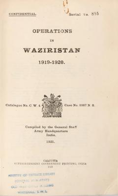
[CONFIDENTIAL] - General Staff Army Headquarters, India.
Operations in Waziristan 1919-1920.
Confidential. Serial No. 855.
Stock Code 114305
Calcutta, Superintendent Government Printing, India, 1921
Current price$1,944.00
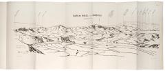
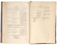
The scarce official account of the Waziristan campaign 1919–1920, and preceding 1917 conflict, with copious views and maps of the scarcely traversed terrain and landscape of Waziristan, including Jandola, Palosina, Kotkai, Kaniguram, Barari Tangi, Ahnai Tangi, and Badergoi Valley. Also included are twelve Appendices detailing the units of the British forces in 1917 and 1919, the terms delivered to the Waziris and Mahsuds, lists of British casualties, and approximate numbers of the different specific tribes of the Mahsuds and Waziris involved in the conflict.
In 1919 the short-lived Third Anglo-Afghan War concluded with the British ceding legal control of Afghan foreign affairs in return for the recognition by the Afghans of the Durand Line. Despite this, a rumour spread amongst the Waziri and Mahsud tribesmen that the British intended to cede their territory to the British. They quickly conducted a series of raids against neighbouring settlements in the North West Frontier in late 1919, causing over 400 casualties.
Major-General Sir Andrew Skeen led the British response against the Tochi Waziris and Mahsuds in November of 1919. The campaign a took over 12 months due to the inexperience of the British units mainly comprised of light Indian divisions. The decisive eight-day battle of Ahnai Tangi, involving the stand of the 2nd/5th Gurkhas immortalised in several paintings, broke the Mahsud offensive and quickly resulted in a calming of violence and allowed the British to deliver their terms of control.
Despite the apparent British victory the 1919-1920 campaign led to a change of policy in Waziristan. Britain decided to station permanent garrisons and have a much closer relationship with the irregular military units used. A large number of the locally raised troops had defected to the Waziris and Mahsuds during the campaign and it was hoped these measures would prevent further desertion. Britain also attempted a road construction effort in the region, but this was seen as invasive and caused further conflict up to 1924.
The two large colour folding maps are sized:
75 x 92 cm - scale 1 inch to 1 mile
77 x 64 cm - scale 1 inch to 4 miles
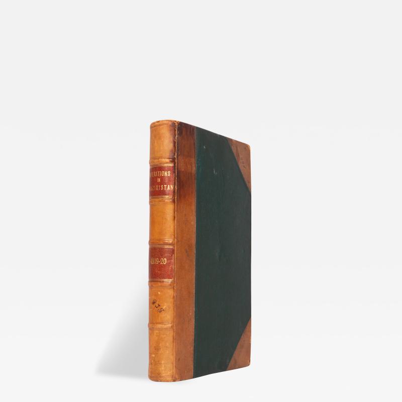
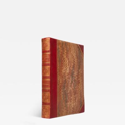
First edition; 8vo (25 x 16.5 cm); complete with 32 photogravure plates including frontispiece, 16 of which folding, 4 of which large panoramic views, 8 heliozincographed folding panoramas sketched on the spot, 7 folding heliozincographed maps, 3 of which loose in rear pocket, 2 of which large coloured, Ministry of Defence Library stamp to title, small nick to margin of one of the large coloured maps, paperclip mark to title otherwise clean and unread internally; typical contemporary half calf, green cloth boards, gilt morocco lettering pieces to spine, discreet manuscript serial number to spine and upper board corner, extremities lightly rubbed from use, binding tight due to quantity of maps and plates, a very good copy; x, 187, [1]pp. -
More Information
Period: 1920-1949 Condition: Good. Styles / Movements: Modern Incollect Reference #: 764564
Message from Seller:
Based in the heart of Mayfair in London, we specialise in prints and original works on paper across a broad range of subjects, from antique prints to modern pochoir plates, as well as photographs from vintage photography to modern art photography.


