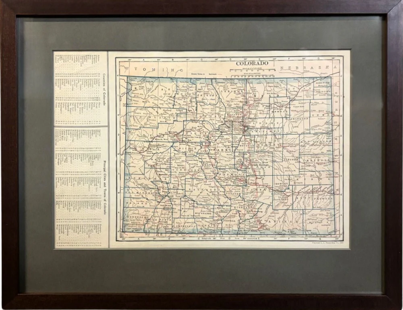
1925 "Colorado" Map by L. L. Poates Eng. Co.
-
Description
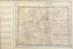
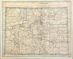
This is a detailed antique map of Colorado from 1925. The map was engraved by Leonard L. Poates, originally published in the "Poates Highway and Regional Guide of the United States." The map is colored, with county borders printed in blue and railroad routes criss-crossing the state in red. Along the left of the map is a list of “Counties in Colorado" and an extensive list of "Principal Cities and Towns in Colorado," both keyed. Prominent rivers are labeled, as well as the Southern Ute Indian Reservation south of Montezuma.
Prior to 1858, Colorado was mostly a stopping point for travelers on their way to California and Oregon. However, in the 1860s Colorado experienced its own gold rush shortly followed by a silver rush in the 1870s and 1880s. The sudden increase in population and introduction of railroads led to a boom in the area. President Ulysses S. Grant signed Proclamation 230 admitting the state of Colorado to the Union as the 38th state on August 1, 1876. Gold, silver, and especially coal mining continued in the state, and the population kept expanding. Colorado had a recorded population of 539,700 in 1900, 799,024 in 1910, and 939,629 in 1920.
Leonard L. Poates was an American engraver and publisher who started his own company, the L. L. Poates Engraving Company, in New York City around 1910. In addition to his own popular “Handy Atlas,””Complete Atlas of the World,” “Highway and Regional Guide of the United States,” and “Radio Map of the United States and Canada,” Poates and his company worked on maps for other publishing companies’ atlases, including those issued by P. F. Colliers and Son and Dodd, Mead & Co.
CONDITION:
Engraved map with original printed color. The map’s title “Colorado” is printed along the top of the map at center, “A Scale of Statue Miles” and “Scale of Kilometers” are presented just below the title, with copyright information at bottom right of the map’s border. Keyed list of Counties and Cities are printed at left. Paper is healthy, with very little toning. No tears or rips. Double-sided map, with California map on the reverse. Very faint bleed through of California’s map colors to recto.
The map has been artfully presented in a custom-built wooden frame, with acid-free mats, and UV Conservation clear glass.
Framed Dimensions: 14 1/4" H x 18 1/4" W x 3/4" D.
Accompanied by our company's letter of authenticity. -
More Information
Documentation: Certificate of Authenticity Period: 1920-1949 Condition: Good. Styles / Movements: Modern Incollect Reference #: 773747 -
Dimensions
W. 18.25 in; H. 14.25 in; D. 0.75 in; W. 46.36 cm; H. 36.2 cm; D. 1.91 cm;
Message from Seller:
Established in 2010, The Great Republic specializes in one-of-a-kind collectibles that honor American history, with a special focus on the rare and unique. Our collection is complete with rarities that are sure to wow, such as first edition books, antique hand-sewn flags from the Civil War, vintage travel posters, and original signatures from American presidents, such as George Washington and Abraham Lincoln, just to name a few. P: 719.471.6157 E: headquarters@great-republic.com


