- FINE ART
-
FURNITURE + LIGHTING
Shop By Category
Shop By Artist
- NEW + CUSTOM
- DECORATIVE ARTS
-
JEWELRY
Shop By Category
Shop By Artist
- INTERIORS
- MAGAZINE
Offered by:
The Great Republic
1 Lake Circle
Colorado Springs, CO 80906 , United States
Call Seller
719.471.6157
Showrooms
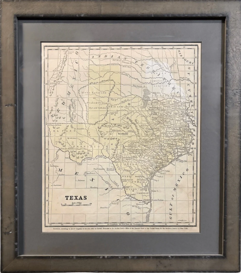
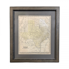
1853 "Texas" Map by Daniel Burgess
$ 850
-
Tear Sheet Print
- BoardAdd to Board
-
-
Description
This is an original map of Texas from 1853, published by Daniel Burgess. The map was issued in Smith's Quarto, or Second Book in Geography and has original hand coloring. This map covers the entire state of Texas, as well parts of adjacent New Mexico, Indian Territory, Missouri, Arkansas, and Louisiana. The southern boundary is defined by Rio Grande as agreed to in the 1848 Treaty of Guadalupe-Hidalgo.
Created as a school atlas map, the map is filled with rivers, place names, locations of eight forts, Native American tribes, and population data. The listed total population of Texas is 213,000.
Given the issue date, county development is limited to the eastern third of the state. The Fannin Land District is shown west of Cooke County and below the Llano Estacado with no defined boundaries.
CONDITION:
Good condition overall. Hand colored map. Paper is healthy, save two 1.25" edge tears at left that have been closed on verso with archival tape and minor stains at bottom. Very faint pencil notations in the image.
Map has been archivally framed in a custom-built wooden frame with acid-free gray mats and UV glass.
Framed Dimensions: 15 3/8" H x 13 5/8" W x 1" D.
Accompanied by our company's letter of authenticity. -
More Information
Documentation: Certificate of Authenticity Period: 19th Century Condition: Good. Styles / Movements: Modern Incollect Reference #: 773748 -
Dimensions
W. 13.625 in; H. 15.375 in; D. 1 in; W. 34.61 cm; H. 39.05 cm; D. 2.54 cm;
Message from Seller:
Established in 2010, The Great Republic specializes in one-of-a-kind collectibles that honor American history, with a special focus on the rare and unique. Our collection is complete with rarities that are sure to wow, such as first edition books, antique hand-sewn flags from the Civil War, vintage travel posters, and original signatures from American presidents, such as George Washington and Abraham Lincoln, just to name a few. P: 719.471.6157 E: headquarters@great-republic.com
Sign In To View Price
close
You must Sign In to your account to view the price. If you don’t have an account, please Create an Account below.
More Listings from The Great Republic View all 252 listings
No Listings to show.
- Vintage Rayo Pony No. 21 Lantern
- 1902 Pair of Presentation Lawn Bowls with Sterling Silver Plaques
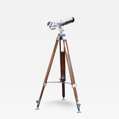
- Carl Zeiss 12 x 60 Observation Binoculars, Second World War
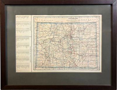
- 1925 "Colorado" Map by L. L. Poates Eng. Co.
- The Secret Garden by Frances Hodgson Burnett, Illustrated by Maria L. Kirk
- Gerald R. Ford Presidential Seal Tie Bar
- Going Solo, Signed by Roald Dahl, First Edition in Original Dust Jacket, 1986
- Benjamin Harrison Indian Peace Medal on Presentation Collar, 1889
- 38-Star American Flag with Unique Canton, Commemorating Colorado Statehood, 1876
- "Save Freedom of Speech. Buy War Bonds" Vintage WWII Poster by Norman Rockwell
- 1866 "Ensign & Bridgman's Rail Road Map of the United States"
- Vintage Adlake RR Lantern, 1945-1965
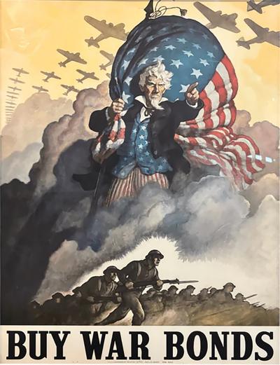
- "Buy War Bonds" Vintage WWII Poster by Newell Convers Wyeth, 1942
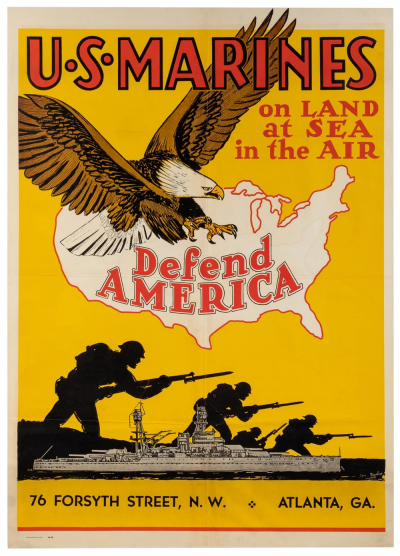
- "U.S. Marines on Land at Sea in the Air Defend America" Vintage WWII Poster


